The whole water argument end to end — storm barriers in Zeeland, the museum of the 1953 flood, the dyke Nijmegen moved backwards, and the tidal flats at the top, on trains, buses, ferries and a hired bike.
Rotterdam
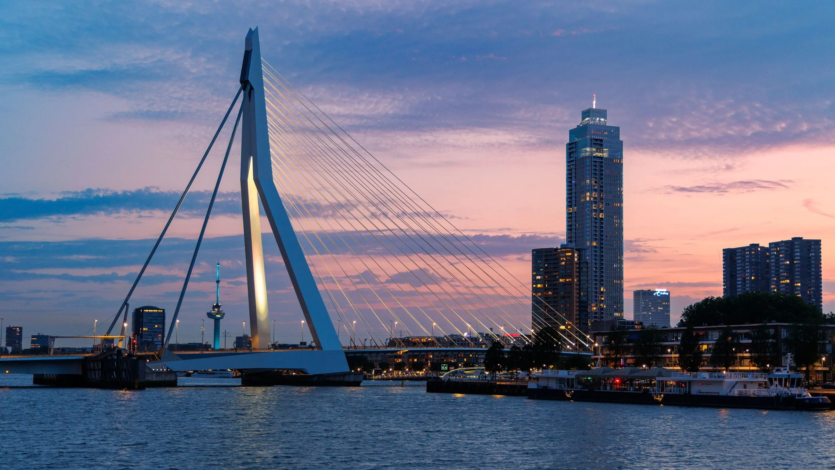
Start at the water. The centre was flattened on 14 May 1940 and rebuilt as an experiment rather than a reconstruction, which is why it looks like nowhere else in the country and why people either love it or find it cold. Walk Kop van Zuid, cross the Erasmus bridge, eat somewhere on Deliplein.
The Maeslant barrier
Metro to the end of the line and a walk along the New Waterway. Two white arms lie in dry docks on either side of the shipping channel; when three metres above datum is forecast at Rotterdam a computer swings them shut without asking a human being. The visitor centre explains the decision system, which is the part worth the trip.
Kinderdijk and Dordrecht
The waterbus down the Nieuwe Maas, off at the mills, then on to Dordrecht for the night. Nineteen mills built in 1738 and 1740 to lift water out of a polder that sits well below the river beside it; they are still kept in working order as a reserve for the pumping station that does the job now.
South-west into Zeeland
Across the delta to Middelburg. The province is a set of former islands stitched together by dams built after 1953, and the joins are visible from the train. Veere, twenty minutes away by bike, was a Scottish wool port and stopped being anything when the Veerse Gat was dammed in 1961.
The Oosterschelde barrier
Nine kilometres of it, sixty-two steel gates hung between concrete piers, opened in 1986. It was designed as a solid dam and redesigned as a barrier that stays open because fishermen and biologists spent the 1970s arguing that closing the estuary would kill it. That argument cost years and a great deal of money and it was right.
Ouwerkerk and the flood
The Watersnoodmuseum sits inside the four caissons that closed the final breach on 6 November 1953, nine months after the storm that killed 1,836 people in one night. The caissons are war surplus, floated over from the Mulberry harbours of 1944. Then Zierikzee, which is what a Zeeland town looks like when it survives.
East to Nijmegen
The one long transfer of the trip, out of the sea country and into the river country. Bus to Rotterdam and train inland. From here the water arrives from Germany rather than the North Sea, and everything about the defences changes.
The Spiegelwaal, and Arnhem
Walk out to Veur-Lent, the island that exists because the dyke was moved 350 metres north in 2016 and a side channel cut behind it. Then fifteen minutes up the line to Arnhem: the bridge the British airborne failed to hold in September 1944 and the Airborne Museum at Oosterbeek, which is unusually honest about why the operation failed.
Hoge Veluwe
Sand, heath and pine — the nearest thing the country has to wilderness, and it is a former private hunting estate. Take one of the eighteen hundred white bicycles at the gate, ride to the Kröller-Müller for close to ninety Van Goghs in the middle of a forest, and ride back a different way.
Utrecht and the waterline
Out to Fort bij Vechten for the New Dutch Waterline: eighty-five kilometres of forts and sluices built to flood a strip of the country shin-deep on command, too shallow to float a boat and too soft to walk or drive. It worked until aircraft, and it is a World Heritage Site as of 2021. Utrecht itself in the evening, on the wharves.
Across the Afsluitdijk
North, then thirty-two kilometres of dyke across open water. The last gap was closed on 28 May 1932 and the Zuiderzee stopped being a sea; the fishing towns behind it kept their harbours and lost their trade in an afternoon. Stop halfway across at the Vlietermonument, which stands where the gap was, and again at Kornwerderzand for the Afsluitdijk Wadden Center — the bus serves both, but not the monument on a Sunday.
Terschelling
Two hours out into the Wadden Sea. Thirty kilometres long, mostly dune and salt marsh, with the Boschplaat sandbank running off the eastern end and closed in the nesting season. The Brandaris lighthouse in the harbour has stood since 1594 and is the oldest in the country.
Back to the mainland
Ferry to Harlingen and the train south. Half a day in Amsterdam at the end if the flight allows — and if it does, the Museum Het Schip out in Spaarndammerbuurt is a better use of three hours than any queue in the centre.
Good to know
Domestic train fares are fixed: the price is identical a month ahead and on the platform, so there is nothing to book and no reason to lock in dates. Tap in and out with a contactless bank card on trains, buses, trams and metro, and remember the tap out — forgetting costs €33.30 on the train, the maximum single fare, refundable if you claim it back. A bicycle on a national train needs an €8.50 off-peak day ticket, the Fietskaart Dal, and is banned outright on weekdays between 06:30 and 09:00 and between 16:00 and 18:30, which catches people out on the way to the Veluwe; folding bikes travel free at any hour. The Maeslant barrier is closed once a year for a test, on a Saturday in September before the storm season, and that is the only day you will see it shut short of a genuine surge. The Afsluitdijk has been under a long reinforcement programme and the cycle path across it has closed in stages with a bike bus running instead, so check before planning to ride it. Wadden ferries sell out for cars weeks ahead in July and August; a foot passenger can turn up, but the island beds cannot.
Shorter or longer?
Add three days for the eastern Wadden and cross to Ameland or Schiermonnikoog on foot at low tide from Holwerd or Lauwersoog. Three to five hours in mud, tide-critical, and the rules require a licensed guide for good reason.
Rotterdam, Kinderdijk, Zeeland and Nijmegen. Cuts the Veluwe and the entire north and keeps every part of the route that is actually about the sea.